|
|
|
|
[ Home | Discover the Elkins Area | Major Attractions | Arts and Culture | Historic Sites | Outdoor Recreation | Historic Towns | Scenic Byways | Agri/Eco Tourism | Festivals & Events | Lodging | Dining | Shopping | Driving Tours | Travel Packages | Calendar | About Us | | Links ] |
|
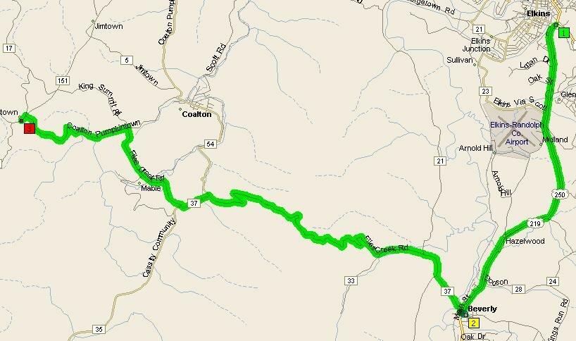
| Rich Mountain Backway | |
|
Randolph County Convention & Visitors Bureau 1035 N. Randolph Avenue, Elkins, WV 26241
E-Mail: ________________
|
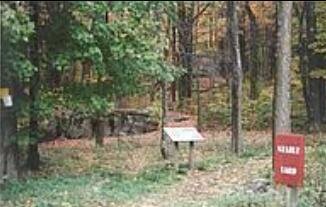
This 12.5 mile Backway will take you from Beverly up the mountain to the Rich Mountain Battlefield. Nearly five miles of the route is still gravel, with twists and turns that emphasize the slower pace of 19th century travel. At the top of the mountain you can visit the Battlefield. Further down the western face of the mountain, you can explore the earthworks of Camp Garnett, built by Confederate soldiers to control the Staunton Parkersburg Turnpike in the summer of 1861.
|
|
© 2005-2007 Randolph County Convention and Visitors Bureau |
|
 Beverly, West Virginia, 26253